Jakob Oberholzer (1862–1939) [1]
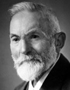
Jakob Oberholzer was a secondary school teacher. His intense interest in geology especially of the canton of Glarus (Switzerland) gave him many opportunities and projects which he utilised to create relief maps with very high degree of precision. In 1917 Jakob Oberholzer was awarded an honorary doctorate by the University of Zurich for his contributions to geological research. A collection of his beautiful drawings coloured according to geological features was published in "Glarner Alpen" in 1933 [2]. In the village of Ennenda, Glarus, a commemorative plaque is installed to appreciate his life's work.
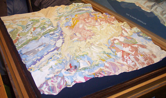
Oberholzer's graphic skills and his ability to observe details played a crucial role in designing geological maps and creating various relief models. In 1911 he carved from plaster a terrain model of his home canton of Glarus in the scale of 1:50,000. Nearly 100 years later, this handmade model was used as an intermediate piece for a huge terrain model automatically carved by a milling machine with a final dimension of ca. 70 x 500 cm. The model is displayed at the permanent Focus Terra exhibition at ETH Zurich.